Distance between Seven Sisters Falls MB and McDame BC
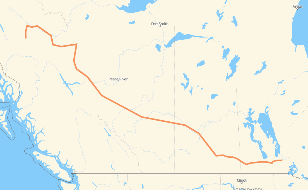
The distance from Seven Sisters Falls to McDame is 3,135 kilometers by road including 118 kilometers on motorways. Road takes approximately 36 hours and 3 minutes and goes through Winnipeg, Portage la Prairie, Brandon, Regina, Saskatoon, North Battleford and Lloydminster.
| Shortest distance by air | 2,332 km ✈️ |
| Car route length | 3,135 km 🚗 |
| Driving time | 36 h 3 min |
| Fuel amount | 250.8 L |
| Fuel cost | 491.5 CAD |
| Point | Distance | Time | Fuel | |
| Seven Sisters Falls | 0 km | 00 min | 0.0 L | |
|
PTH 11 PTH 44 108 km, 1 h 13 min
|
||||
| Winnipeg | 108 km | 1 h 13 min | 7.6 L | |
|
PTH 101 PTH 1 84 km, 56 min
|
||||
| Portage la Prairie | 192 km | 2 h 09 min | 14.7 L | |
|
PTH 1 123 km, 1 h 22 min
|
||||
| Brandon | 315 km | 3 h 31 min | 24.9 L | |
|
PTH 1 1 362 km, 4 h 07 min
|
||||
| Regina | 676 km | 7 h 39 min | 53.8 L | |
|
46 11 253 km, 2 h 49 min
|
||||
| Saskatoon | 929 km | 10 h 28 min | 73.7 L | |
|
11 16 162 km, 1 h 50 min
|
||||
| North Battleford | 1,091 km | 12 h 19 min | 85.1 L | |
|
16 109 km, 1 h 14 min
|
||||
| Lloydminster | 1,200 km | 13 h 33 min | 93.8 L | |
|
16 254 km, 2 h 50 min
|
||||
| Edmonton | 1,454 km | 16 h 24 min | 115.4 L | |
|
16 27 km, 17 min
|
||||
| Spruce Grove | 1,482 km | 16 h 41 min | 118.0 L | |
|
16 43 554 km, 6 h 14 min
|
||||
| Dawson Creek | 2,036 km | 22 h 56 min | 162.3 L | |
|
97 72 km, 49 min
|
||||
| Fort St. John | 2,108 km | 23 h 45 min | 168.2 L | |
|
97 1,027 km, 12 h 17 min
|
||||
| McDame | 3,135 km | 36 h 02 min | 249.8 L | |
Frequently Asked Questions
How much does it cost to drive from Seven Sisters Falls to McDame?
Fuel cost: 491.5 CAD
This fuel cost is calculated as: (Route length 3,135 km / 100 km) * (Fuel consumption 8 L/100 km) * (Fuel price 1.96 CAD / L)
You can adjust fuel consumption and fuel price here.
How long is a car ride from Seven Sisters Falls to McDame?
Driving time: 36 h 3 min
This time is calculated for driving at the maximum permitted speed, taking into account traffic rules restrictions.
- 36 km with a maximum speed 110 km/h = 19 min
- 51 km with a maximum speed 100 km/h = 30 min
- 2,563 km with a maximum speed 90 km/h = 28 h 28 min
- 404 km with a maximum speed 80 km/h = 5 h 3 min
- 51 km with a maximum speed 70 km/h = 43 min
- 3 km with a maximum speed 60 km/h = 3 min
- 13 km with a maximum speed 50 km/h = 15 min
- 13 km with a maximum speed 20 km/h = 38 min
The calculated driving time does not take into account intermediate stops and traffic jams.
How far is Seven Sisters Falls to McDame by land?
The distance between Seven Sisters Falls and McDame is 3,135 km by road including 118 km on motorways.
Precise satellite coordinates of highways were used for this calculation. The start and finish points are the centers of Seven Sisters Falls and McDame respectively.
How far is Seven Sisters Falls to McDame by plane?
The shortest distance (air line, as the crow flies) between Seven Sisters Falls and McDame is 2,332 km.
This distance is calculated using the Haversine formula as a great-circle distance between two points on the surface of a sphere. The start and finish points are the centers of Seven Sisters Falls and McDame respectively. Actual distance between airports may be different.
How many hours is Seven Sisters Falls from McDame by plane?
Boeing 737 airliner needs 2 h 54 min to cover the distance of 2,332 km at a cruising speed of 800 km/h.
Small plane "Cessna 172" needs 10 h 36 min to flight this distance at average speed of 220 km/h.
This time is approximate and do not take into account takeoff and landing times, airport location and other real world factors.
How long is a helicopter ride from Seven Sisters Falls to McDame?
Fast helicopter "Eurocopter AS350" or "Hughes OH-6 Cayuse" need 9 h 43 min to cover the distance of 2,332 km at a cruising speed of 240 km/h.
Popular "Robinson R44" needs 11 h 6 min to flight this distance at average speed of 210 km/h.
This time is approximate and do not take into account takeoff and landing times, aerodrome location and other real world factors.
What city is halfway between Seven Sisters Falls and McDame?
The halfway point between Seven Sisters Falls and McDame is Sangudo.
The distance from Sangudo to Seven Sisters Falls is 1,567 km and driving will take about 17 h 36 min. The road between Sangudo and McDame has length 1,568 km and will take approximately 18 h 26 min.
The other cities located close to halfway point:
Where is Seven Sisters Falls in relation to McDame?
Seven Sisters Falls is located 2,332 km south-east of McDame.
Seven Sisters Falls has geographic coordinates: latitude 50.1043, longitude -96.02582.
McDame has geographic coordinates: latitude 59.18333, longitude -129.23333.
Which highway goes from Seven Sisters Falls to McDame?
The route from Seven Sisters Falls to McDame follows 97, 16, 43, PTH 1, 1, 11.
Other minor sections pass along the road:
- 37: 97 km
- PTH 44: 58 km
- 2: 53 km
- PTH 101: 32 km
- 46: 22 km
- PTH 59: 19 km
- PTH 12: 10 km
- 11A: 9 km
- 47: 8 km
- 32: 8 km
- PTH 83: 7 km
- PR 254: 5 km
- 49: 5 km
- PTH 11: 5 km
- 674: 5 km
- 40: 5 km
- PR 250: 4 km
- 6: 3 km
- 21: 3 km
- PR 307: 3 km
- 757: 2 km
- 12: 2 km
- PTH 10: 2 km
- 8: 1 km
- 675: 1 km
- 4: 1 km