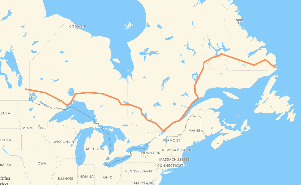
The distance from Pinawa to Mary’s Harbour is 4,410 kilometers by road including 353 kilometers on motorways. Road takes approximately 50 hours and 5 minutes and goes through Kenora, Dryden, Thunder Bay, Rouyn-Noranda, Trois-Rivières, Quebec and Baie-Comeau.
How much does it cost to drive from Pinawa to Mary’s Harbour?
Fuel cost:
691.4 CAD
This fuel cost is calculated as: (Route length 4,410 km / 100 km) * (Fuel consumption 8 L/100 km) * (Fuel price 1.96 CAD / L)
You can adjust fuel consumption and fuel price here.
How long is a car ride from Pinawa to Mary’s Harbour?
Driving time:
50 h 5 min
This time is calculated for driving at the maximum permitted speed, taking into account traffic rules restrictions.
337 km with a maximum speed 100 km/h = 3 h 21 min
3,487 km with a maximum speed 90 km/h = 38 h 44 min
435 km with a maximum speed 80 km/h = 5 h 26 min
80 km with a maximum speed 70 km/h = 1 h 8 min
21 km with a maximum speed 60 km/h = 20 min
47 km with a maximum speed 50 km/h = 56 min
2 km with a maximum speed 20 km/h = 4 min
The calculated driving time does not take into account intermediate stops and traffic jams.
How far is Pinawa to Mary’s Harbour by land?
The distance between Pinawa and Mary’s Harbour is 4,410 km by road including 353 km on motorways.
Precise satellite coordinates of highways were used for this calculation. The start and finish points are the centers of Pinawa and Mary’s Harbour respectively.
How far is Pinawa to Mary’s Harbour by plane?
The shortest distance (air line, as the crow flies) between Pinawa and Mary’s Harbour is 2,764 km.
This distance is calculated using the Haversine formula as a great-circle distance between two points on the surface of a sphere. The start and finish points are the centers of Pinawa and Mary’s Harbour respectively. Actual distance between airports may be different.
How many hours is Pinawa from Mary’s Harbour by plane?
Boeing 737 airliner needs 3 h 27 min to cover the distance of 2,764 km at a cruising speed of 800 km/h.
Small plane "Cessna 172" needs 12 h 33 min to flight this distance at average speed of 220 km/h.
This time is approximate and do not take into account takeoff and landing times, airport location and other real world factors.
How long is a helicopter ride from Pinawa to Mary’s Harbour?
Fast helicopter "Eurocopter AS350" or "Hughes OH-6 Cayuse" need 11 h 31 min to cover the distance of 2,764 km at a cruising speed of 240 km/h.
Popular "Robinson R44" needs 13 h 9 min to flight this distance at average speed of 210 km/h.
This time is approximate and do not take into account takeoff and landing times, aerodrome location and other real world factors.
What city is halfway between Pinawa and Mary’s Harbour?
The halfway point between Pinawa and Mary’s Harbour is Terrebonne.
The distance from Terrebonne to Pinawa is 2,205 km and driving will take about 25 h 9 min. The road between Terrebonne and Mary’s Harbour has length 2,204 km and will take approximately 24 h 56 min.
The other cities located close to halfway point:
Charlemagne is in 2,218 km from Pinawa and 2,192 km from Mary’s Harbour
Lorraine is in 2,191 km from Pinawa and 2,218 km from Mary’s Harbour
Sainte-Thérèse is in 2,185 km from Pinawa and 2,225 km from Mary’s Harbour
Where is Pinawa in relation to Mary’s Harbour?
Pinawa is located 2,764 km west of Mary’s Harbour.
Pinawa has geographic coordinates: latitude 50.15, longitude -95.88333.
Mary’s Harbour has geographic coordinates: latitude 52.30971, longitude -55.83773.
Which highway goes from Pinawa to Mary’s Harbour?
The route from Pinawa to Mary’s Harbour follows 11, 17, 389, 500, 117, 510, 138, 40, 101.