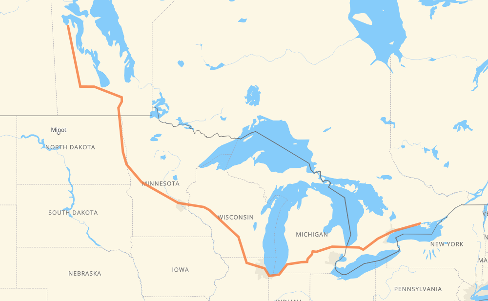
The distance from Pelican Rapids to Trenton is 2,977 kilometers by road including 2,282 kilometers on motorways. Road takes approximately 30 hours and 15 minutes and goes through Portage la Prairie, Winnipeg, Grand Forks, Fargo, Eau Claire, Madison and Janesville.
How much does it cost to drive from Pelican Rapids to Trenton?
Fuel cost:
466.9 CAD
This fuel cost is calculated as: (Route length 2,977 km / 100 km) * (Fuel consumption 8 L/100 km) * (Fuel price 1.96 CAD / L)
You can adjust fuel consumption and fuel price here.
How long is a car ride from Pelican Rapids to Trenton?
Driving time:
30 h 15 min
This time is calculated for driving at the maximum permitted speed, taking into account traffic rules restrictions.
1,337 km with a maximum speed 110 km/h = 12 h 9 min
28 km with a maximum speed 105 km/h = 15 min
674 km with a maximum speed 100 km/h = 6 h 44 min
33 km with a maximum speed 97 km/h = 20 min
496 km with a maximum speed 90 km/h = 5 h 30 min
40 km with a maximum speed 89 km/h = 27 min
329 km with a maximum speed 80 km/h = 4 h 6 min
13 km with a maximum speed 72 km/h = 10 min
8 km with a maximum speed 70 km/h = 6 min
8 km with a maximum speed 60 km/h = 7 min
1 km with a maximum speed 56 km/h = 1 min
9 km with a maximum speed 50 km/h = 10 min
2 km with a maximum speed 40 km/h = 2 min
The calculated driving time does not take into account intermediate stops and traffic jams.
How far is Pelican Rapids to Trenton by land?
The distance between Pelican Rapids and Trenton is 2,977 km by road including 2,282 km on motorways.
Precise satellite coordinates of highways were used for this calculation. The start and finish points are the centers of Pelican Rapids and Trenton respectively.
How far is Pelican Rapids to Trenton by plane?
The shortest distance (air line, as the crow flies) between Pelican Rapids and Trenton is 1,945 km.
This distance is calculated using the Haversine formula as a great-circle distance between two points on the surface of a sphere. The start and finish points are the centers of Pelican Rapids and Trenton respectively. Actual distance between airports may be different.
How many hours is Pelican Rapids from Trenton by plane?
Boeing 737 airliner needs 2 h 25 min to cover the distance of 1,945 km at a cruising speed of 800 km/h.
Small plane "Cessna 172" needs 8 h 50 min to flight this distance at average speed of 220 km/h.
This time is approximate and do not take into account takeoff and landing times, airport location and other real world factors.
How long is a helicopter ride from Pelican Rapids to Trenton?
Fast helicopter "Eurocopter AS350" or "Hughes OH-6 Cayuse" need 8 h 6 min to cover the distance of 1,945 km at a cruising speed of 240 km/h.
Popular "Robinson R44" needs 9 h 15 min to flight this distance at average speed of 210 km/h.
This time is approximate and do not take into account takeoff and landing times, aerodrome location and other real world factors.
What city is halfway between Pelican Rapids and Trenton?
The halfway point between Pelican Rapids and Trenton is Eau Claire. It is located about 16 km from the exact midpoint by road.
The distance from Eau Claire to Pelican Rapids is 1,473 km and driving will take about 15 h 53 min. The road between Eau Claire and Trenton has length 1,504 km and will take approximately 14 h 21 min.
The other cities located close to halfway point:
Elk Mound is in 1,457 km from Pelican Rapids and 1,520 km from Trenton
Northfield is in 1,527 km from Pelican Rapids and 1,450 km from Trenton
Menomonie is in 1,443 km from Pelican Rapids and 1,534 km from Trenton
Where is Pelican Rapids in relation to Trenton?
Pelican Rapids is located 1,945 km north-west of Trenton.
Pelican Rapids has geographic coordinates: latitude 52.73973, longitude -100.6891.
Trenton has geographic coordinates: latitude 44.10331, longitude -77.57589.
Which highway goes from Pelican Rapids to Trenton?
The route from Pelican Rapids to Trenton follows I 94, I 90, 401, PTH 10, I 69, I 29, US 81, I 39, PTH 16, 402.