Distance between Courtenay BC and Fort St. John BC
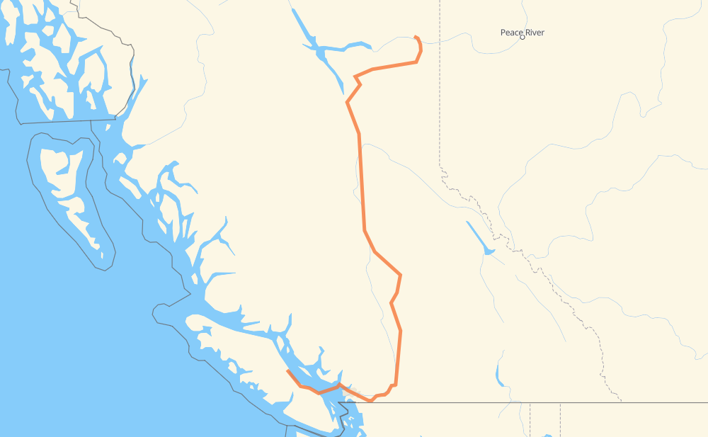
The distance from Courtenay to Fort St. John is 1,407 kilometers by road including 229 kilometers on motorways. Road takes approximately 26 hours and 17 minutes and goes through Parksville, Nanaimo, West Vancouver, District of North Vancouver, Vancouver, Burnaby and Coquitlam.
| Shortest distance by air | 781 km ✈️ |
| Car route length | 1,407 km 🚗 |
| Driving time | 26 h 17 min |
| Fuel amount | 496.8 L |
| Fuel cost | 4,426.5 CAD |
| Point | Distance | Time | Fuel | |
| Courtenay | 0 km | 00 min | 0.0 L | |
|
19 73 km, 1 h 08 min
|
||||
| Parksville | 73 km | 1 h 08 min | 23.8 L | |
|
19 28 km, 29 min
|
||||
| Nanaimo | 101 km | 1 h 38 min | 33.8 L | |
|
19A 41 km, 1 h 38 min
|
||||
| West Vancouver | 143 km | 3 h 17 min | 37.8 L | |
|
2 41 km, 1 h 35 min
|
||||
| District of North Vancouver | 183 km | 4 h 52 min | 63.0 L | |
|
1 7 km, 05 min
|
||||
| Vancouver | 190 km | 4 h 58 min | 66.4 L | |
|
1 7 km, 06 min
|
||||
| Burnaby | 197 km | 5 h 05 min | 67.7 L | |
|
1 9 km, 08 min
|
||||
| Coquitlam | 207 km | 5 h 13 min | 71.6 L | |
|
1 49 km, 43 min
|
||||
| Abbotsford | 256 km | 5 h 57 min | 84.5 L | |
|
1 31 km, 27 min
|
||||
| Chilliwack | 287 km | 6 h 24 min | 96.2 L | |
|
1 446 km, 7 h 49 min
|
||||
| Williams Lake | 732 km | 14 h 14 min | 254.5 L | |
|
97 116 km, 2 h 04 min
|
||||
| Quesnel | 848 km | 16 h 18 min | 297.4 L | |
|
97 124 km, 2 h 13 min
|
||||
| Prince George | 973 km | 18 h 31 min | 339.3 L | |
|
97 434 km, 7 h 45 min
|
||||
| Fort St. John | 1,407 km | 26 h 17 min | 494.2 L | |
Hotels of Fort St. John
Frequently Asked Questions
How much does it cost to drive from Courtenay to Fort St. John?
Fuel cost: 4,426.5 CAD
This fuel cost is calculated as: (Route length 1,407 km / 100 km) * (Fuel consumption 35.31 L/100 km) * (Fuel price 8.91 CAD / L)
You can adjust fuel consumption and fuel price here.
How long is a car ride from Courtenay to Fort St. John?
Driving time: 26 h 17 min
This time is calculated for driving at the maximum permitted speed, taking into account traffic rules restrictions.
- 227 km with a maximum speed 68 km/h = 3 h 20 min
- 2 km with a maximum speed 60 km/h = 2 min
- 1,102 km with a maximum speed 56 km/h = 19 h 40 min
- 19 km with a maximum speed 50 km/h = 22 min
- 57 km with a maximum speed 20 km/h = 2 h 52 min
The calculated driving time does not take into account intermediate stops and traffic jams.
How far is Courtenay to Fort St. John by land?
The distance between Courtenay and Fort St. John is 1,407 km by road including 229 km on motorways.
Precise satellite coordinates of highways were used for this calculation. The start and finish points are the centers of Courtenay and Fort St. John respectively.
How far is Courtenay to Fort St. John by plane?
The shortest distance (air line, as the crow flies) between Courtenay and Fort St. John is 781 km.
This distance is calculated using the Haversine formula as a great-circle distance between two points on the surface of a sphere. The start and finish points are the centers of Courtenay and Fort St. John respectively. Actual distance between airports may be different.
How many hours is Courtenay from Fort St. John by plane?
Boeing 737 airliner needs 58 min to cover the distance of 781 km at a cruising speed of 800 km/h.
Small plane "Cessna 172" needs 3 h 33 min to flight this distance at average speed of 220 km/h.
This time is approximate and do not take into account takeoff and landing times, airport location and other real world factors.
How long is a helicopter ride from Courtenay to Fort St. John?
Fast helicopter "Eurocopter AS350" or "Hughes OH-6 Cayuse" need 3 h 15 min to cover the distance of 781 km at a cruising speed of 240 km/h.
Popular "Robinson R44" needs 3 h 43 min to flight this distance at average speed of 210 km/h.
This time is approximate and do not take into account takeoff and landing times, aerodrome location and other real world factors.
What city is halfway between Courtenay and Fort St. John?
The halfway point between Courtenay and Fort St. John is 150 Mile House. It is located about 14 km from the exact midpoint by road.
The distance from 150 Mile House to Courtenay is 717 km and driving will take about 13 h 57 min. The road between 150 Mile House and Fort St. John has length 690 km and will take approximately 12 h 20 min.
The other cities located close to halfway point:
Where is Courtenay in relation to Fort St. John?
Courtenay is located 781 km south-west of Fort St. John.
Courtenay has geographic coordinates: latitude 49.69073, longitude -124.99695.
Fort St. John has geographic coordinates: latitude 56.25098, longitude -120.83588.
Which highway goes from Courtenay to Fort St. John?
The route from Courtenay to Fort St. John follows 97, 1.
Other minor sections pass along the road:
- 19: 88 km
- 2: 56 km
- 99: 10 km
- 19A: 10 km
- 97C: 4 km
- 29: 3 km