Distance between Toronto ON and Houston BC
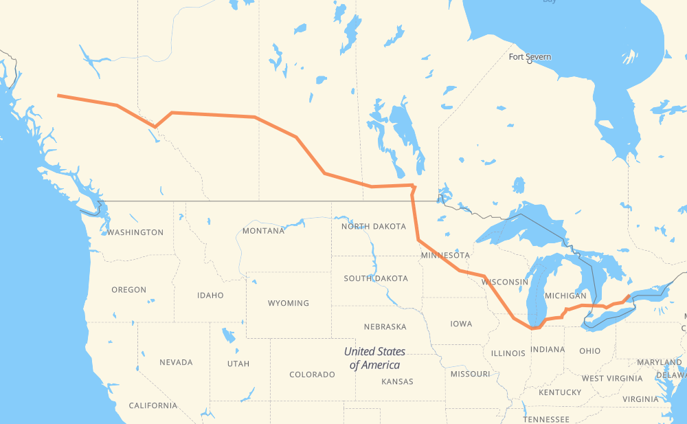
The distance from Toronto to Houston is 4,608 kilometers by road including 2,190 kilometers on motorways. Road takes approximately 48 hours and 40 minutes and goes through Mississauga, Burlington, Hamilton, Brantford, Woodstock, Sarnia and Flint.
| Shortest distance by air | 3,571 km ✈️ |
| Car route length | 4,608 km 🚗 |
| Driving time | 48 h 40 min |
| Fuel amount | 368.6 L |
| Fuel cost | 700.4 CAD |
| Point | Distance | Time | Fuel | |
| Toronto | 0 km | 00 min | 0.0 L | |
|
Gardiner 24 km, 16 min
|
||||
| Mississauga | 24 km | 16 min | 1.4 L | |
|
QEW 30 km, 17 min
|
||||
| Burlington | 54 km | 34 min | 3.6 L | |
|
403 12 km, 07 min
|
||||
| Hamilton | 66 km | 41 min | 5.1 L | |
|
403 34 km, 20 min
|
||||
| Brantford | 100 km | 1 h 01 min | 7.5 L | |
|
403 39 km, 23 min
|
||||
| Woodstock | 139 km | 1 h 25 min | 10.6 L | |
|
401 402 141 km, 1 h 20 min
|
||||
| Sarnia | 280 km | 2 h 45 min | 21.6 L | |
|
402 I 69 122 km, 1 h 12 min
|
||||
| Flint | 401 km | 3 h 58 min | 31.8 L | |
|
I 69 99 km, 53 min
|
||||
| Lansing | 500 km | 4 h 52 min | 39.8 L | |
|
I 69 102 km, 55 min
|
||||
| Kalamazoo | 602 km | 5 h 47 min | 47.9 L | |
|
I 94 I 90 409 km, 3 h 53 min
|
||||
| Janesville | 1,011 km | 9 h 41 min | 80.6 L | |
|
I 39 56 km, 30 min
|
||||
| Madison | 1,067 km | 10 h 11 min | 84.7 L | |
|
I 39 I 94 282 km, 2 h 34 min
|
||||
| Eau Claire | 1,350 km | 12 h 46 min | 107.0 L | |
|
I 94 526 km, 4 h 52 min
|
||||
| Fargo | 1,876 km | 17 h 39 min | 149.3 L | |
|
I 29 102 km, 1 h 10 min
|
||||
| Grand Forks | 1,977 km | 18 h 49 min | 156.2 L | |
|
I 29 243 km, 2 h 47 min
|
||||
| Winnipeg | 2,220 km | 21 h 36 min | 176.7 L | |
|
PTH 100 PTH 1 88 km, 59 min
|
||||
| Portage la Prairie | 2,308 km | 22 h 36 min | 184.0 L | |
|
PTH 1 123 km, 1 h 22 min
|
||||
| Brandon | 2,431 km | 23 h 58 min | 194.2 L | |
|
PTH 1 1 362 km, 4 h 07 min
|
||||
| Regina | 2,793 km | 28 h 05 min | 223.1 L | |
|
46 11 253 km, 2 h 49 min
|
||||
| Saskatoon | 3,046 km | 30 h 55 min | 243.0 L | |
|
11 16 162 km, 1 h 50 min
|
||||
| North Battleford | 3,208 km | 32 h 45 min | 254.4 L | |
|
16 109 km, 1 h 14 min
|
||||
| Lloydminster | 3,317 km | 34 h 00 min | 263.1 L | |
|
16 254 km, 2 h 50 min
|
||||
| Edmonton | 3,571 km | 36 h 50 min | 284.7 L | |
|
16 27 km, 17 min
|
||||
| Spruce Grove | 3,598 km | 37 h 07 min | 287.3 L | |
|
16 709 km, 8 h 01 min
|
||||
| Prince George | 4,307 km | 45 h 09 min | 343.5 L | |
|
16 303 km, 3 h 32 min
|
||||
| Houston | 4,610 km | 48 h 41 min | 368.7 L | |
Hotels of Houston
Frequently Asked Questions
How much does it cost to drive from Toronto to Houston?
Fuel cost: 700.4 CAD
This fuel cost is calculated as: (Route length 4,608 km / 100 km) * (Fuel consumption 8 L/100 km) * (Fuel price 1.9 CAD / L)
You can adjust fuel consumption and fuel price here.
How long is a car ride from Toronto to Houston?
Driving time: 48 h 40 min
This time is calculated for driving at the maximum permitted speed, taking into account traffic rules restrictions.
- 1,497 km with a maximum speed 110 km/h = 13 h 36 min
- 30 km with a maximum speed 105 km/h = 17 min
- 362 km with a maximum speed 100 km/h = 3 h 37 min
- 50 km with a maximum speed 97 km/h = 31 min
- 2,190 km with a maximum speed 90 km/h = 24 h 20 min
- 30 km with a maximum speed 89 km/h = 20 min
- 2 km with a maximum speed 80 km/h = 1 min
- 351 km with a maximum speed 80 km/h = 4 h 23 min
- 3 km with a maximum speed 72 km/h = 2 min
- 49 km with a maximum speed 70 km/h = 41 min
- 17 km with a maximum speed 60 km/h = 17 min
- 25 km with a maximum speed 50 km/h = 30 min
The calculated driving time does not take into account intermediate stops and traffic jams.
How far is Toronto to Houston by land?
The distance between Toronto and Houston is 4,608 km by road including 2,190 km on motorways.
Precise satellite coordinates of highways were used for this calculation. The start and finish points are the centers of Toronto and Houston respectively.
How far is Toronto to Houston by plane?
The shortest distance (air line, as the crow flies) between Toronto and Houston is 3,571 km.
This distance is calculated using the Haversine formula as a great-circle distance between two points on the surface of a sphere. The start and finish points are the centers of Toronto and Houston respectively. Actual distance between airports may be different.
How many hours is Toronto from Houston by plane?
Boeing 737 airliner needs 4 h 27 min to cover the distance of 3,571 km at a cruising speed of 800 km/h.
Small plane "Cessna 172" needs 16 h 13 min to flight this distance at average speed of 220 km/h.
This time is approximate and do not take into account takeoff and landing times, airport location and other real world factors.
How long is a helicopter ride from Toronto to Houston?
Fast helicopter "Eurocopter AS350" or "Hughes OH-6 Cayuse" need 14 h 52 min to cover the distance of 3,571 km at a cruising speed of 240 km/h.
Popular "Robinson R44" needs 17 h to flight this distance at average speed of 210 km/h.
This time is approximate and do not take into account takeoff and landing times, aerodrome location and other real world factors.
What city is halfway between Toronto and Houston?
The halfway point between Toronto and Houston is Portage la Prairie. It is located about 4 km from the exact midpoint by road.
The distance from Portage la Prairie to Toronto is 2,308 km and driving will take about 22 h 34 min. The road between Portage la Prairie and Houston has length 2,300 km and will take approximately 26 h 5 min.
The other cities located close to halfway point:
Where is Toronto in relation to Houston?
Toronto is located 3,571 km east of Houston.
Toronto has geographic coordinates: latitude 43.65396, longitude -79.38721.
Houston has geographic coordinates: latitude 54.39899, longitude -126.65184.
Which highway goes from Toronto to Houston?
The route from Toronto to Houston follows 16, I 94, I 90, PTH 1, I 69, 11, I 29, 1, US 81, I 39, 403, 402.
Other minor sections pass along the road:
- PTH 75: 94 km
- 401: 50 km
- I 694: 46 km
- QEW: 39 km
- US 51: 30 km
- 46: 22 km
- US 41: 22 km
- PTH 100: 19 km
- 2: 18 km
- US 59: 17 km
- Gardiner: 14 km
- US 12: 9 km
- 11A: 9 km
- 47: 8 km
- 22: 8 km
- 24: 8 km
- I 96: 8 km
- PTH 83: 7 km
- 40: 7 km
- MN 95: 7 km
- PR 254: 5 km
- MN 210: 5 km
- US 31: 5 km
- US 10: 5 km
- 674: 5 km
- US 52: 4 km
- PR 241: 4 km
- WI 35: 4 km
- PR 250: 4 km
- 6: 3 km
- 21: 3 km
- US 20: 3 km
- WI 11: 3 km
- Route 42: 3 km
- PR 427: 2 km
- PR 334: 2 km
- 12: 2 km
- PTH 10: 2 km
- 8: 1 km
- 675: 1 km
- 4: 1 km