Distance between Seropédica and Botelhos
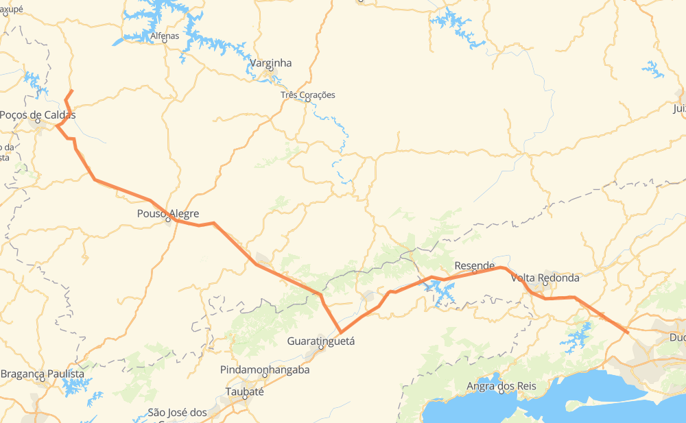
The distance from Seropédica to Botelhos is 438 kilometers by road including 176 kilometers on motorways. Road takes approximately 5 hours and 46 minutes and goes through Pouso Alegre, Boa Esperança, São Luis, Floriano, Lorena, Piquete and Água Limpa.
| Shortest distance by air | 303 km ✈️ |
| Car route length | 438 km 🚗 |
| Driving time | 5 h 46 min |
| Fuel amount | 35 L |
| Fuel cost | 69.4 CAD |
| Point | Distance | Time | Fuel | |
| Boa Esperança | 0 km | 00 min | 0.0 L | |
|
BR-465 BR-116 68 km, 53 min
|
||||
| São Luis | 68 km | 53 min | 5.3 L | |
|
BR-116 21 km, 12 min
|
||||
| Floriano | 88 km | 1 h 05 min | 6.7 L | |
|
BR-116 94 km, 57 min
|
||||
| Lorena | 183 km | 2 h 02 min | 14.3 L | |
|
SP-048 18 km, 13 min
|
||||
| Piquete | 201 km | 2 h 15 min | 15.0 L | |
|
SP-048 AMG-1915 34 km, 36 min
|
||||
| Água Limpa | 235 km | 2 h 51 min | 18.1 L | |
|
MG-350 11 km, 14 min
|
||||
| Santa Rosa | 246 km | 3 h 06 min | 19.5 L | |
|
EM-040 BR-459 48 km, 49 min
|
||||
| Pedreira | 294 km | 3 h 55 min | 23.5 L | |
|
BR-459 26 km, 24 min
|
||||
| Pouso Alegre | 319 km | 4 h 20 min | 25.1 L | |
|
BR-459 118 km, 1 h 25 min
|
||||
| Botelhos | 438 km | 5 h 46 min | 33.9 L | |
Frequently Asked Questions
How much does it cost to drive from Seropédica to Botelhos?
Fuel cost: 69.4 CAD
This fuel cost is calculated as: (Route length 438 km / 100 km) * (Fuel consumption 8 L/100 km) * (Fuel price 1.98 CAD / L)
You can adjust fuel consumption and fuel price here.
How long is a car ride from Seropédica to Botelhos?
Driving time: 5 h 46 min
This time is calculated for driving at the maximum permitted speed, taking into account traffic rules restrictions.
- 64 km with a maximum speed 110 km/h = 34 min
- 41 km with a maximum speed 100 km/h = 24 min
- 65 km with a maximum speed 90 km/h = 43 min
- 145 km with a maximum speed 80 km/h = 1 h 48 min
- 35 km with a maximum speed 70 km/h = 29 min
- 35 km with a maximum speed 60 km/h = 34 min
- 32 km with a maximum speed 50 km/h = 38 min
- 21 km with a maximum speed 40 km/h = 31 min
The calculated driving time does not take into account intermediate stops and traffic jams.
How far is Seropédica to Botelhos by land?
The distance between Seropédica and Botelhos is 438 km by road including 176 km on motorways.
Precise satellite coordinates of highways were used for this calculation. The start and finish points are the centers of Seropédica and Botelhos respectively.
How far is Seropédica to Botelhos by plane?
The shortest distance (air line, as the crow flies) between Seropédica and Botelhos is 303 km.
This distance is calculated using the Haversine formula as a great-circle distance between two points on the surface of a sphere. The start and finish points are the centers of Seropédica and Botelhos respectively. Actual distance between airports may be different.
How many hours is Seropédica from Botelhos by plane?
Boeing 737 airliner needs 22 min to cover the distance of 303 km at a cruising speed of 800 km/h.
Small plane "Cessna 172" needs 1 h 22 min to flight this distance at average speed of 220 km/h.
This time is approximate and do not take into account takeoff and landing times, airport location and other real world factors.
How long is a helicopter ride from Seropédica to Botelhos?
Fast helicopter "Eurocopter AS350" or "Hughes OH-6 Cayuse" need 1 h 15 min to cover the distance of 303 km at a cruising speed of 240 km/h.
Popular "Robinson R44" needs 1 h 26 min to flight this distance at average speed of 210 km/h.
This time is approximate and do not take into account takeoff and landing times, aerodrome location and other real world factors.
What city is halfway between Seropédica and Botelhos?
The halfway point between Seropédica and Botelhos is Barreira. It is located about 1 km from the exact midpoint by road.
The distance from Barreira to Seropédica is 218 km and driving will take about 2 h 30 min. The road between Barreira and Botelhos has length 220 km and will take approximately 3 h 16 min.
The other cities located close to halfway point:
Where is Seropédica in relation to Botelhos?
Seropédica is located 303 km south-east of Botelhos.
Seropédica has geographic coordinates: latitude -22.74389, longitude -43.6992.
Botelhos has geographic coordinates: latitude -21.65, longitude -46.39472.
Which highway goes from Seropédica to Botelhos?
The route from Seropédica to Botelhos follows BR-116, BR-459.
Other minor sections pass along the road:
- SP-060: 51 km
- SP-048: 33 km
- MG-350: 13 km
- EM-040: 8 km
- AMG-1915: 7 km
- BR-465: 5 km
- KM-272: 3 km
- AMG-1515: 1 km