Distance between Saint-Élix-le-Château and Santa Eufémia
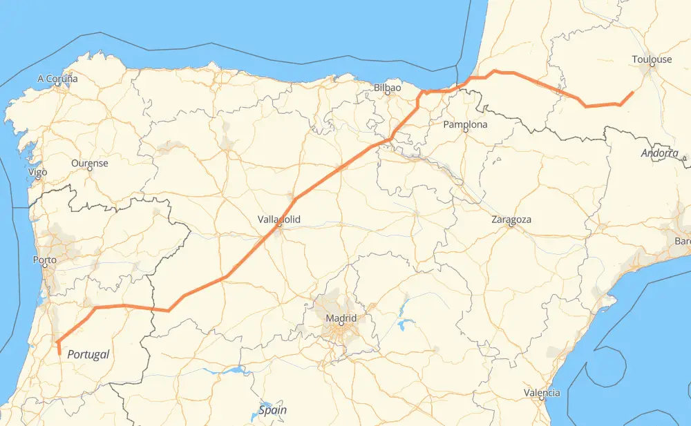
The distance from Saint-Élix-le-Château to Santa Eufémia is 1,066 kilometers by road including 972 kilometers on motorways. Road takes approximately 10 hours and 13 minutes and goes through Pau, Saint-Gaudens, Capvern-les-Bains, Tarbes, Lons, Orthez and Anglet.
How much does it cost to drive from Saint-Élix-le-Château to Santa Eufémia?
Fuel cost:
167.1 CAD
This fuel cost is calculated as: (Route length 1,066 km / 100 km) * (Fuel consumption 8 L/100 km) * (Fuel price 1.96 CAD / L)
You can adjust fuel consumption and fuel price here.
How long is a car ride from Saint-Élix-le-Château to Santa Eufémia?
Driving time:
10 h 13 min
This time is calculated for driving at the maximum permitted speed, taking into account traffic rules restrictions.
888 km with a maximum speed 110 km/h = 8 h 4 min
36 km with a maximum speed 100 km/h = 21 min
32 km with a maximum speed 90 km/h = 21 min
102 km with a maximum speed 80 km/h = 1 h 16 min
4 km with a maximum speed 50 km/h = 5 min
1 km with a maximum speed 20 km/h = 2 min
The calculated driving time does not take into account intermediate stops and traffic jams.
How far is Saint-Élix-le-Château to Santa Eufémia by land?
The distance between Saint-Élix-le-Château and Santa Eufémia is 1,066 km by road including 972 km on motorways.
Precise satellite coordinates of highways were used for this calculation. The start and finish points are the centers of Saint-Élix-le-Château and Santa Eufémia respectively.
How far is Saint-Élix-le-Château to Santa Eufémia by plane?
The shortest distance (air line, as the crow flies) between Saint-Élix-le-Château and Santa Eufémia is 868 km.
This distance is calculated using the Haversine formula as a great-circle distance between two points on the surface of a sphere. The start and finish points are the centers of Saint-Élix-le-Château and Santa Eufémia respectively. Actual distance between airports may be different.
How many hours is Saint-Élix-le-Château from Santa Eufémia by plane?
Boeing 737 airliner needs 1 h 5 min to cover the distance of 868 km at a cruising speed of 800 km/h.
Small plane "Cessna 172" needs 3 h 56 min to flight this distance at average speed of 220 km/h.
This time is approximate and do not take into account takeoff and landing times, airport location and other real world factors.
How long is a helicopter ride from Saint-Élix-le-Château to Santa Eufémia?
Fast helicopter "Eurocopter AS350" or "Hughes OH-6 Cayuse" need 3 h 37 min to cover the distance of 868 km at a cruising speed of 240 km/h.
Popular "Robinson R44" needs 4 h 8 min to flight this distance at average speed of 210 km/h.
This time is approximate and do not take into account takeoff and landing times, aerodrome location and other real world factors.
What city is halfway between Saint-Élix-le-Château and Santa Eufémia?
The halfway point between Saint-Élix-le-Château and Santa Eufémia is Estépar. It is located about 1 km from the exact midpoint by road.
The distance from Estépar to Saint-Élix-le-Château is 534 km and driving will take about 5 h 1 min. The road between Estépar and Santa Eufémia has length 532 km and will take approximately 5 h 12 min.
The other cities located close to halfway point:
Frandovínez is in 521 km from Saint-Élix-le-Château and 545 km from Santa Eufémia
Buniel is in 520 km from Saint-Élix-le-Château and 546 km from Santa Eufémia
Villagonzalo Pedernales is in 512 km from Saint-Élix-le-Château and 553 km from Santa Eufémia
Where is Saint-Élix-le-Château in relation to Santa Eufémia?
Saint-Élix-le-Château is located 868 km north-east of Santa Eufémia.
Saint-Élix-le-Château has geographic coordinates: latitude 43.28033, longitude 1.13672.
Santa Eufémia has geographic coordinates: latitude 40.01932, longitude -8.3619.
Which highway goes from Saint-Élix-le-Château to Santa Eufémia?
The route from Saint-Élix-le-Château to Santa Eufémia follows A-62, A 64, AP-1.