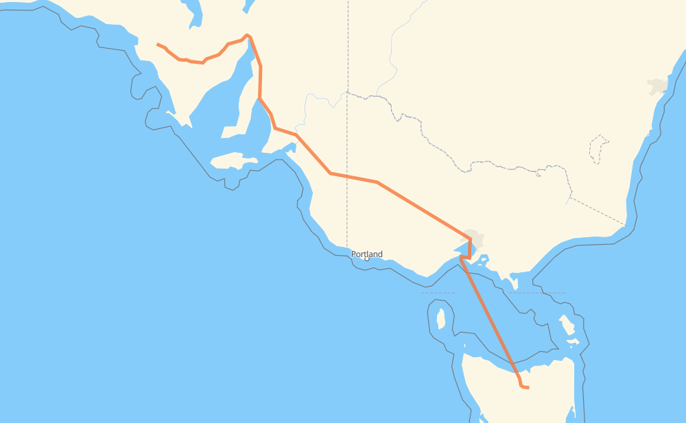
The distance from Poochera to Westbury is 1,862 kilometers by road including 264 kilometers on motorways. Road takes approximately 37 hours and 35 minutes and goes through Port Augusta, Murray Bridge, Horsham and Devonport.
How much does it cost to drive from Poochera to Westbury?
Fuel cost:
292 CAD
This fuel cost is calculated as: (Route length 1,862 km / 100 km) * (Fuel consumption 8 L/100 km) * (Fuel price 1.96 CAD / L)
You can adjust fuel consumption and fuel price here.
How long is a car ride from Poochera to Westbury?
Driving time:
37 h 35 min
This time is calculated for driving at the maximum permitted speed, taking into account traffic rules restrictions.
209 km with a maximum speed 110 km/h = 1 h 54 min
43 km with a maximum speed 100 km/h = 25 min
1,056 km with a maximum speed 90 km/h = 11 h 43 min
62 km with a maximum speed 80 km/h = 46 min
3 km with a maximum speed 70 km/h = 2 min
45 km with a maximum speed 60 km/h = 45 min
6 km with a maximum speed 50 km/h = 7 min
1 km with a maximum speed 40 km/h = 1 min
436 km with a maximum speed 20 km/h = 21 h 47 min
The calculated driving time does not take into account intermediate stops and traffic jams.
How far is Poochera to Westbury by land?
The distance between Poochera and Westbury is 1,862 km by road including 264 km on motorways.
Precise satellite coordinates of highways were used for this calculation. The start and finish points are the centers of Poochera and Westbury respectively.
How far is Poochera to Westbury by plane?
The shortest distance (air line, as the crow flies) between Poochera and Westbury is 1,443 km.
This distance is calculated using the Haversine formula as a great-circle distance between two points on the surface of a sphere. The start and finish points are the centers of Poochera and Westbury respectively. Actual distance between airports may be different.
How many hours is Poochera from Westbury by plane?
Boeing 737 airliner needs 1 h 48 min to cover the distance of 1,443 km at a cruising speed of 800 km/h.
Small plane "Cessna 172" needs 6 h 33 min to flight this distance at average speed of 220 km/h.
This time is approximate and do not take into account takeoff and landing times, airport location and other real world factors.
How long is a helicopter ride from Poochera to Westbury?
Fast helicopter "Eurocopter AS350" or "Hughes OH-6 Cayuse" need 6 h to cover the distance of 1,443 km at a cruising speed of 240 km/h.
Popular "Robinson R44" needs 6 h 52 min to flight this distance at average speed of 210 km/h.
This time is approximate and do not take into account takeoff and landing times, aerodrome location and other real world factors.
What city is halfway between Poochera and Westbury?
The halfway point between Poochera and Westbury is Lillimur. It is located about 9 km from the exact midpoint by road.
The distance from Lillimur to Poochera is 940 km and driving will take about 10 h 29 min. The road between Lillimur and Westbury has length 922 km and will take approximately 27 h 5 min.
The other cities located close to halfway point:
Kaniva is in 946 km from Poochera and 916 km from Westbury
Bordertown is in 908 km from Poochera and 954 km from Westbury
Nhill is in 975 km from Poochera and 887 km from Westbury
Where is Poochera in relation to Westbury?
Poochera is located 1,443 km north-west of Westbury.
Poochera has geographic coordinates: latitude -32.72031, longitude 134.83854.
Westbury has geographic coordinates: latitude -41.52815, longitude 146.83251.
Which highway goes from Poochera to Westbury?
The route from Poochera to Westbury follows A1, A8, M8.