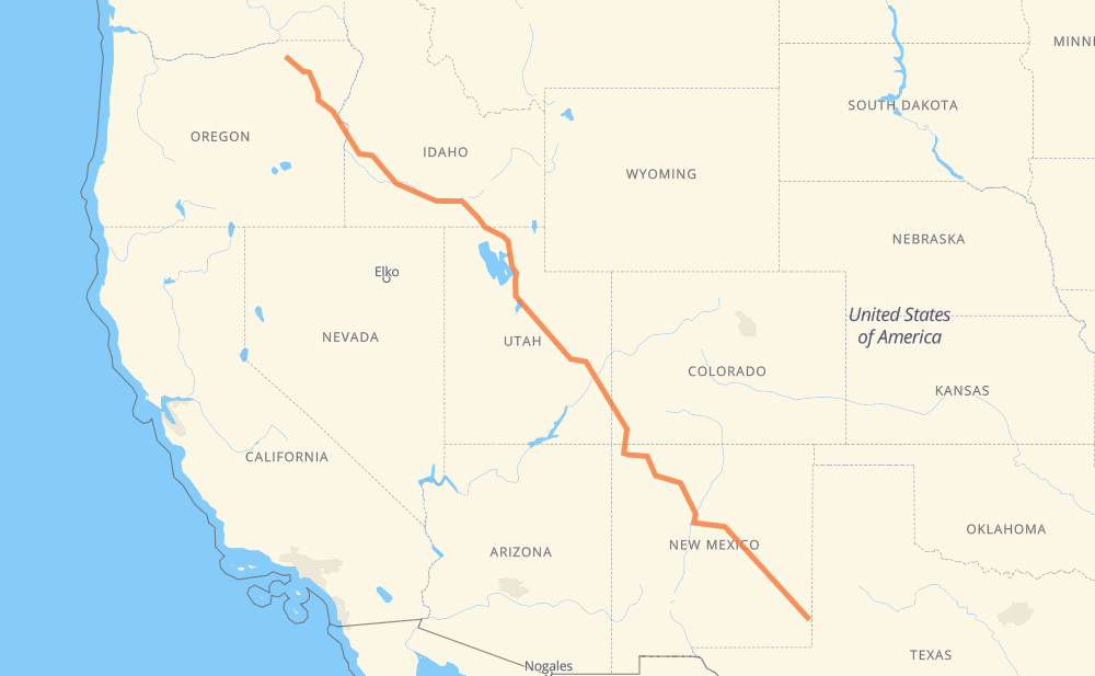
The distance from Pendleton to Hobbs is 2,357 kilometers by road including 1,124 kilometers on motorways. Road takes approximately 25 hours and 8 minutes and goes through Ogden, Salt Lake City, Provo, Farmington, Rio Rancho and Roswell.
How much does it cost to drive from Pendleton to Hobbs?
Fuel cost:
369.6 CAD
This fuel cost is calculated as: (Route length 2,357 km / 100 km) * (Fuel consumption 8 L/100 km) * (Fuel price 1.96 CAD / L)
You can adjust fuel consumption and fuel price here.
How long is a car ride from Pendleton to Hobbs?
Driving time:
25 h 8 min
This time is calculated for driving at the maximum permitted speed, taking into account traffic rules restrictions.
758 km with a maximum speed 110 km/h = 6 h 53 min
71 km with a maximum speed 105 km/h = 40 min
178 km with a maximum speed 100 km/h = 1 h 47 min
7 km with a maximum speed 97 km/h = 4 min
809 km with a maximum speed 90 km/h = 8 h 59 min
117 km with a maximum speed 89 km/h = 1 h 18 min
7 km with a maximum speed 80 km/h = 5 min
351 km with a maximum speed 80 km/h = 4 h 23 min
30 km with a maximum speed 72 km/h = 24 min
11 km with a maximum speed 64 km/h = 10 min
10 km with a maximum speed 56 km/h = 11 min
2 km with a maximum speed 50 km/h = 2 min
6 km with a maximum speed 48 km/h = 7 min
The calculated driving time does not take into account intermediate stops and traffic jams.
How far is Pendleton to Hobbs by land?
The distance between Pendleton and Hobbs is 2,357 km by road including 1,124 km on motorways.
Precise satellite coordinates of highways were used for this calculation. The start and finish points are the centers of Pendleton and Hobbs respectively.
How far is Pendleton to Hobbs by plane?
The shortest distance (air line, as the crow flies) between Pendleton and Hobbs is 1,968 km.
This distance is calculated using the Haversine formula as a great-circle distance between two points on the surface of a sphere. The start and finish points are the centers of Pendleton and Hobbs respectively. Actual distance between airports may be different.
How many hours is Pendleton from Hobbs by plane?
Boeing 737 airliner needs 2 h 27 min to cover the distance of 1,968 km at a cruising speed of 800 km/h.
Small plane "Cessna 172" needs 8 h 56 min to flight this distance at average speed of 220 km/h.
This time is approximate and do not take into account takeoff and landing times, airport location and other real world factors.
How long is a helicopter ride from Pendleton to Hobbs?
Fast helicopter "Eurocopter AS350" or "Hughes OH-6 Cayuse" need 8 h 11 min to cover the distance of 1,968 km at a cruising speed of 240 km/h.
Popular "Robinson R44" needs 9 h 22 min to flight this distance at average speed of 210 km/h.
This time is approximate and do not take into account takeoff and landing times, aerodrome location and other real world factors.
What city is halfway between Pendleton and Hobbs?
The halfway point between Pendleton and Hobbs is Desert. It is located about 8 km from the exact midpoint by road.
The distance from Desert to Pendleton is 1,170 km and driving will take about 11 h 38 min. The road between Desert and Hobbs has length 1,187 km and will take approximately 13 h 29 min.
The other cities located close to halfway point:
Green River is in 1,197 km from Pendleton and 1,160 km from Hobbs
Sunnyside Junction is in 1,106 km from Pendleton and 1,251 km from Hobbs
Wellington is in 1,095 km from Pendleton and 1,263 km from Hobbs
Where is Pendleton in relation to Hobbs?
Pendleton is located 1,968 km north-west of Hobbs.
Pendleton has geographic coordinates: latitude 45.67208, longitude -118.7886.
Hobbs has geographic coordinates: latitude 32.70261, longitude -103.13604.
Which highway goes from Pendleton to Hobbs?
The route from Pendleton to Hobbs follows I 84, US 30, US 191, US 550, US 6, US 285, I 15, US 491, US 26, US 380.