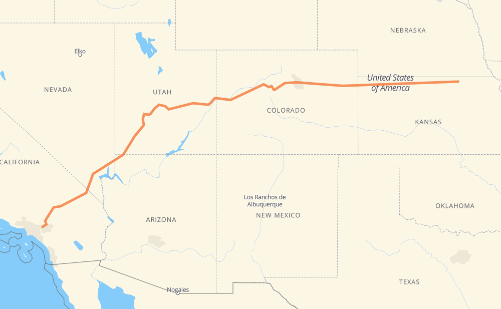
The distance from Ontario to Washington is 2,282 kilometers by road including 1,636 kilometers on motorways. Road takes approximately 22 hours and 40 minutes and goes through Rancho Cucamonga, Fontana, Victorville, Las Vegas, North Las Vegas, St. George and Vail.
How much does it cost to drive from Ontario to Washington?
Fuel cost:
357.8 CAD
This fuel cost is calculated as: (Route length 2,282 km / 100 km) * (Fuel consumption 8 L/100 km) * (Fuel price 1.96 CAD / L)
You can adjust fuel consumption and fuel price here.
How long is a car ride from Ontario to Washington?
Driving time:
22 h 40 min
This time is calculated for driving at the maximum permitted speed, taking into account traffic rules restrictions.
1,228 km with a maximum speed 110 km/h = 11 h 10 min
207 km with a maximum speed 105 km/h = 1 h 58 min
63 km with a maximum speed 100 km/h = 37 min
31 km with a maximum speed 97 km/h = 19 min
599 km with a maximum speed 90 km/h = 6 h 39 min
62 km with a maximum speed 89 km/h = 41 min
9 km with a maximum speed 80 km/h = 6 min
62 km with a maximum speed 80 km/h = 46 min
10 km with a maximum speed 72 km/h = 8 min
2 km with a maximum speed 64 km/h = 1 min
4 km with a maximum speed 56 km/h = 4 min
1 km with a maximum speed 50 km/h = 1 min
2 km with a maximum speed 48 km/h = 2 min
The calculated driving time does not take into account intermediate stops and traffic jams.
How far is Ontario to Washington by land?
The distance between Ontario and Washington is 2,282 km by road including 1,636 km on motorways.
Precise satellite coordinates of highways were used for this calculation. The start and finish points are the centers of Ontario and Washington respectively.
How far is Ontario to Washington by plane?
The shortest distance (air line, as the crow flies) between Ontario and Washington is 1,934 km.
This distance is calculated using the Haversine formula as a great-circle distance between two points on the surface of a sphere. The start and finish points are the centers of Ontario and Washington respectively. Actual distance between airports may be different.
How many hours is Ontario from Washington by plane?
Boeing 737 airliner needs 2 h 25 min to cover the distance of 1,934 km at a cruising speed of 800 km/h.
Small plane "Cessna 172" needs 8 h 47 min to flight this distance at average speed of 220 km/h.
This time is approximate and do not take into account takeoff and landing times, airport location and other real world factors.
How long is a helicopter ride from Ontario to Washington?
Fast helicopter "Eurocopter AS350" or "Hughes OH-6 Cayuse" need 8 h 3 min to cover the distance of 1,934 km at a cruising speed of 240 km/h.
Popular "Robinson R44" needs 9 h 12 min to flight this distance at average speed of 210 km/h.
This time is approximate and do not take into account takeoff and landing times, aerodrome location and other real world factors.
What city is halfway between Ontario and Washington?
The halfway point between Ontario and Washington is Fruita. It is located about 49 km from the exact midpoint by road.
The distance from Fruita to Ontario is 1,190 km and driving will take about 10 h 58 min. The road between Fruita and Washington has length 1,092 km and will take approximately 11 h 41 min.
The other cities located close to halfway point:
Clifton is in 1,214 km from Ontario and 1,068 km from Washington
Palisade is in 1,224 km from Ontario and 1,058 km from Washington
Green River is in 1,053 km from Ontario and 1,229 km from Washington
Where is Ontario in relation to Washington?
Ontario is located 1,934 km south-west of Washington.
Ontario has geographic coordinates: latitude 34.06584, longitude -117.64843.
Washington has geographic coordinates: latitude 39.81806, longitude -97.05086.
Which highway goes from Ontario to Washington?
The route from Ontario to Washington follows I 70, I 15, US 36, US 6, US 50.