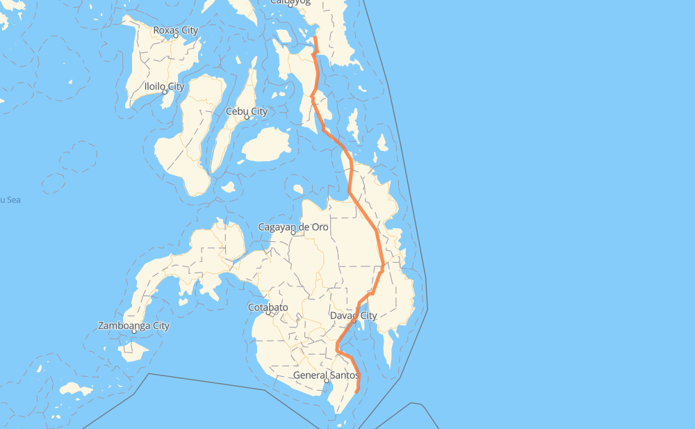
The distance from Jose Abad Santos to Bagon is 865 kilometers by road. Road takes approximately 12 hours and 29 minutes and goes through Digos, Davao City, Bayugan, Surigao City and Tacloban.
How much does it cost to drive from Jose Abad Santos to Bagon?
Fuel cost:
135.6 CAD
This fuel cost is calculated as: (Route length 865 km / 100 km) * (Fuel consumption 8 L/100 km) * (Fuel price 1.96 CAD / L)
You can adjust fuel consumption and fuel price here.
How long is a car ride from Jose Abad Santos to Bagon?
Driving time:
12 h 29 min
This time is calculated for driving at the maximum permitted speed, taking into account traffic rules restrictions.
93 km with a maximum speed 90 km/h = 1 h 1 min
572 km with a maximum speed 80 km/h = 7 h 8 min
161 km with a maximum speed 60 km/h = 2 h 41 min
19 km with a maximum speed 50 km/h = 22 min
3 km with a maximum speed 40 km/h = 3 min
3 km with a maximum speed 30 km/h = 5 min
22 km with a maximum speed 20 km/h = 1 h 5 min
The calculated driving time does not take into account intermediate stops and traffic jams.
How far is Jose Abad Santos to Bagon by land?
The distance between Jose Abad Santos and Bagon is 865 km by road.
Precise satellite coordinates of highways were used for this calculation. The start and finish points are the centers of Jose Abad Santos and Bagon respectively.
How far is Jose Abad Santos to Bagon by plane?
The shortest distance (air line, as the crow flies) between Jose Abad Santos and Bagon is 635 km.
This distance is calculated using the Haversine formula as a great-circle distance between two points on the surface of a sphere. The start and finish points are the centers of Jose Abad Santos and Bagon respectively. Actual distance between airports may be different.
How many hours is Jose Abad Santos from Bagon by plane?
Boeing 737 airliner needs 47 min to cover the distance of 635 km at a cruising speed of 800 km/h.
Small plane "Cessna 172" needs 2 h 53 min to flight this distance at average speed of 220 km/h.
This time is approximate and do not take into account takeoff and landing times, airport location and other real world factors.
How long is a helicopter ride from Jose Abad Santos to Bagon?
Fast helicopter "Eurocopter AS350" or "Hughes OH-6 Cayuse" need 2 h 38 min to cover the distance of 635 km at a cruising speed of 240 km/h.
Popular "Robinson R44" needs 3 h 1 min to flight this distance at average speed of 210 km/h.
This time is approximate and do not take into account takeoff and landing times, aerodrome location and other real world factors.
What city is halfway between Jose Abad Santos and Bagon?
The halfway point between Jose Abad Santos and Bagon is Prosperidad. It is located about 6 km from the exact midpoint by road.
The distance from Prosperidad to Jose Abad Santos is 426 km and driving will take about 5 h 36 min. The road between Prosperidad and Bagon has length 439 km and will take approximately 6 h 52 min.
The other cities located close to halfway point:
San Francisco is in 406 km from Jose Abad Santos and 459 km from Bagon
Bayugan is in 460 km from Jose Abad Santos and 405 km from Bagon
Rosario is in 394 km from Jose Abad Santos and 471 km from Bagon
Where is Jose Abad Santos in relation to Bagon?
Jose Abad Santos is located 635 km south of Bagon.
Jose Abad Santos has geographic coordinates: latitude 5.91291, longitude 125.64416.
Bagon has geographic coordinates: latitude 11.5893, longitude 124.98629.
Which highway goes from Jose Abad Santos to Bagon?
The route from Jose Abad Santos to Bagon follows 1, AH26.