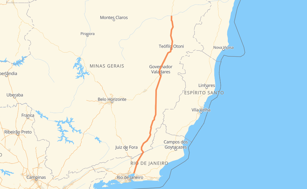
Distance between Itaobim and Magé
The distance from Itaobim to Magé is 832 kilometers by road including 9 kilometers on motorways. Road takes approximately 10 hours and 19 minutes and goes through Muriaé, Ponto dos Volantes, Padre Paraíso, Itambacuri, Santa Paula, Azteca and Engenheiro Caldas.
| Shortest distance by air | 697 km ✈️ |
| Car route length | 832 km 🚗 |
| Driving time | 10 h 19 min |
| Fuel amount | 66.6 L |
| Fuel cost | 131.2 CAD |
| Point | Distance | Time | Fuel | |
| Itaobim | 0 km | 00 min | 0.0 L | |
|
BR-116 28 km, 20 min
|
||||
| Ponto dos Volantes | 28 km | 20 min | 0.7 L | |
|
BR-116 34 km, 23 min
|
||||
| Padre Paraíso | 62 km | 44 min | 3.9 L | |
|
BR-116 132 km, 1 h 40 min
|
||||
| Itambacuri | 194 km | 2 h 25 min | 15.0 L | |
|
BR-116 101 km, 1 h 14 min
|
||||
| Santa Paula | 295 km | 3 h 39 min | 23.6 L | |
|
BR-116 11 km, 08 min
|
||||
| Azteca | 306 km | 3 h 47 min | 24.4 L | |
|
BR-116 38 km, 26 min
|
||||
| Engenheiro Caldas | 345 km | 4 h 13 min | 27.2 L | |
|
BR-116 17 km, 13 min
|
||||
| Tarumirim | 362 km | 4 h 26 min | 28.0 L | |
|
BR-116 228 km, 2 h 48 min
|
||||
| Muriaé | 590 km | 7 h 15 min | 46.4 L | |
|
BR-116 243 km, 3 h 04 min
|
||||
| Magé | 834 km | 10 h 19 min | 66.1 L | |
Frequently Asked Questions
How much does it cost to drive from Itaobim to Magé?
Fuel cost: 131.2 CAD
This fuel cost is calculated as: (Route length 832 km / 100 km) * (Fuel consumption 8 L/100 km) * (Fuel price 1.97 CAD / L)
You can adjust fuel consumption and fuel price here.
How long is a car ride from Itaobim to Magé?
Driving time: 10 h 19 min
This time is calculated for driving at the maximum permitted speed, taking into account traffic rules restrictions.
- 5 km with a maximum speed 110 km/h = 2 min
- 362 km with a maximum speed 90 km/h = 4 h 1 min
- 414 km with a maximum speed 80 km/h = 5 h 10 min
- 23 km with a maximum speed 60 km/h = 22 min
- 6 km with a maximum speed 50 km/h = 7 min
- 23 km with a maximum speed 40 km/h = 34 min
The calculated driving time does not take into account intermediate stops and traffic jams.
How far is Itaobim to Magé by land?
The distance between Itaobim and Magé is 832 km by road including 9 km on motorways.
Precise satellite coordinates of highways were used for this calculation. The start and finish points are the centers of Itaobim and Magé respectively.
How far is Itaobim to Magé by plane?
The shortest distance (air line, as the crow flies) between Itaobim and Magé is 697 km.
This distance is calculated using the Haversine formula as a great-circle distance between two points on the surface of a sphere. The start and finish points are the centers of Itaobim and Magé respectively. Actual distance between airports may be different.
How many hours is Itaobim from Magé by plane?
Boeing 737 airliner needs 52 min to cover the distance of 697 km at a cruising speed of 800 km/h.
Small plane "Cessna 172" needs 3 h 10 min to flight this distance at average speed of 220 km/h.
This time is approximate and do not take into account takeoff and landing times, airport location and other real world factors.
How long is a helicopter ride from Itaobim to Magé?
Fast helicopter "Eurocopter AS350" or "Hughes OH-6 Cayuse" need 2 h 54 min to cover the distance of 697 km at a cruising speed of 240 km/h.
Popular "Robinson R44" needs 3 h 19 min to flight this distance at average speed of 210 km/h.
This time is approximate and do not take into account takeoff and landing times, aerodrome location and other real world factors.
What city is halfway between Itaobim and Magé?
The halfway point between Itaobim and Magé is Floresta. It is located about 3 km from the exact midpoint by road.
The distance from Floresta to Itaobim is 420 km and driving will take about 5 h 9 min. The road between Floresta and Magé has length 413 km and will take approximately 5 h 10 min.
The other cities located close to halfway point:
Where is Itaobim in relation to Magé?
Itaobim is located 697 km north of Magé.
Itaobim has geographic coordinates: latitude -16.56165, longitude -41.50215.
Magé has geographic coordinates: latitude -22.66042, longitude -43.04262.
Which highway goes from Itaobim to Magé?
The route from Itaobim to Magé follows BR-116.
Other minor sections pass along the road:
- BR-342: 71 km
- BR-393: 4 km