Distance between Gustavo Lopez and Buenavista
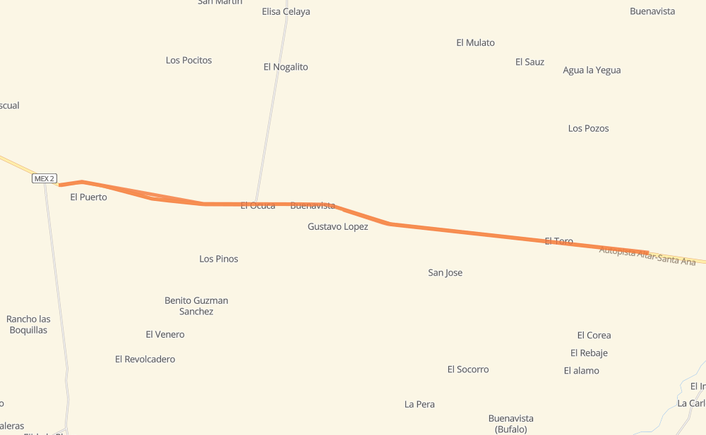
The distance from Gustavo Lopez to Buenavista is 68 kilometers by road including 67 kilometers on motorways. Road takes approximately 41 minutes and goes through El Toro, El Ocuca and El Puerto.
| Shortest distance by air | 2 km ✈️ |
| Car route length | 68 km 🚗 |
| Driving time | 41 min |
| Fuel amount | 5.4 L |
| Fuel cost | 10.6 CAD |
| Toll roads cost | 120 MXN |
| Point | Distance | Time | Fuel | |
| Buenavista | 0 km | 00 min | 0.0 L |
Frequently Asked Questions
How many toll booths are there from Gustavo Lopez to Buenavista?
There are 1 tollbooth between Gustavo Lopez and Buenavista: Santa Ana.
How much does the toll booths cost from Gustavo Lopez to Buenavista?
Toll roads cost: Santa Ana (120 MXN) = 120 MXN
How much does it cost to drive from Gustavo Lopez to Buenavista?
Fuel cost: 10.6 CAD
This fuel cost is calculated as: (Route length 68 km / 100 km) * (Fuel consumption 8 L/100 km) * (Fuel price 1.96 CAD / L)
You can adjust fuel consumption and fuel price here.
Toll roads cost: 120 MXN
How long is a car ride from Gustavo Lopez to Buenavista?
Driving time: 41 min
This time is calculated for driving at the maximum permitted speed, taking into account traffic rules restrictions.
- 67 km with a maximum speed 100 km/h = 40 min
The calculated driving time does not take into account intermediate stops and traffic jams.
How far is Gustavo Lopez to Buenavista by land?
The distance between Gustavo Lopez and Buenavista is 68 km by road including 67 km on motorways.
Precise satellite coordinates of highways were used for this calculation. The start and finish points are the centers of Gustavo Lopez and Buenavista respectively.
What city is halfway between Gustavo Lopez and Buenavista?
The halfway point between Gustavo Lopez and Buenavista is El Ocuca. It is located about 18 km from the exact midpoint by road.
The distance from El Ocuca to Gustavo Lopez is 52 km and driving will take about 31 min. The road between El Ocuca and Buenavista has length 15 km and will take approximately 9 min.
Where is Gustavo Lopez in relation to Buenavista?
Gustavo Lopez is located 2 km south-east of Buenavista.
Gustavo Lopez has geographic coordinates: latitude 30.57433, longitude -111.386.
Buenavista has geographic coordinates: latitude 30.585, longitude -111.40083.
Which highway goes from Gustavo Lopez to Buenavista?
The route from Gustavo Lopez to Buenavista follows MEX 2D.