Distance between Cape North NS and Linwood NS
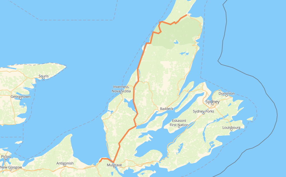
The distance from Cape North to Linwood is 221 kilometers by road including 9 kilometers on motorways. Road takes approximately 2 hours and 29 minutes and goes through Chéticamp, Whycocomagh, Iron Mines, Blues Mills, Upper River Denys, Kingsville and Queensville.
| Shortest distance by air | 160 km ✈️ |
| Car route length | 221 km 🚗 |
| Driving time | 2 h 29 min |
| Fuel amount | 17.7 L |
| Fuel cost | 34.9 CAD |
| Point | Distance | Time | Fuel | |
| Cape North | 0 km | 00 min | 0.0 L | |
|
CT 71 km, 47 min
|
||||
| Chéticamp | 71 km | 47 min | 5.6 L | |
|
CT 85 km, 56 min
|
||||
| Whycocomagh | 156 km | 1 h 44 min | 12.2 L | |
|
TCH 7 km, 04 min
|
||||
| Iron Mines | 164 km | 1 h 49 min | 12.9 L | |
|
NS 105 4 km, 02 min
|
||||
| Blues Mills | 168 km | 1 h 52 min | 13.3 L | |
|
NS 105 3 km, 01 min
|
||||
| Upper River Denys | 170 km | 1 h 54 min | 13.5 L | |
|
NS 105 14 km, 09 min
|
||||
| Kingsville | 184 km | 2 h 03 min | 14.6 L | |
|
NS 105 10 km, 06 min
|
||||
| Queensville | 194 km | 2 h 10 min | 14.9 L | |
|
NS 105 TCH 12 km, 08 min
|
||||
| Auld's Cove | 206 km | 2 h 18 min | 16.4 L | |
|
NS 104 15 km, 10 min
|
||||
| Havre Boucher | 221 km | 2 h 29 min | 17.2 L | |
Frequently Asked Questions
How much does it cost to drive from Cape North to Linwood?
Fuel cost: 34.9 CAD
This fuel cost is calculated as: (Route length 221 km / 100 km) * (Fuel consumption 8 L/100 km) * (Fuel price 1.97 CAD / L)
You can adjust fuel consumption and fuel price here.
How long is a car ride from Cape North to Linwood?
Driving time: 2 h 29 min
This time is calculated for driving at the maximum permitted speed, taking into account traffic rules restrictions.
- 8 km with a maximum speed 100 km/h = 4 min
- 194 km with a maximum speed 90 km/h = 2 h 9 min
- 14 km with a maximum speed 80 km/h = 10 min
- 5 km with a maximum speed 70 km/h = 4 min
The calculated driving time does not take into account intermediate stops and traffic jams.
How far is Cape North to Linwood by land?
The distance between Cape North and Linwood is 221 km by road including 9 km on motorways.
Precise satellite coordinates of highways were used for this calculation. The start and finish points are the centers of Cape North and Linwood respectively.
How far is Cape North to Linwood by plane?
The shortest distance (air line, as the crow flies) between Cape North and Linwood is 160 km.
This distance is calculated using the Haversine formula as a great-circle distance between two points on the surface of a sphere. The start and finish points are the centers of Cape North and Linwood respectively. Actual distance between airports may be different.
How many hours is Cape North from Linwood by plane?
Boeing 737 airliner needs 12 min to cover the distance of 160 km at a cruising speed of 800 km/h.
Small plane "Cessna 172" needs 43 min to flight this distance at average speed of 220 km/h.
This time is approximate and do not take into account takeoff and landing times, airport location and other real world factors.
How long is a helicopter ride from Cape North to Linwood?
Fast helicopter "Eurocopter AS350" or "Hughes OH-6 Cayuse" need 40 min to cover the distance of 160 km at a cruising speed of 240 km/h.
Popular "Robinson R44" needs 45 min to flight this distance at average speed of 210 km/h.
This time is approximate and do not take into account takeoff and landing times, aerodrome location and other real world factors.
Where is Cape North in relation to Linwood?
Cape North is located 160 km north-east of Linwood.
Cape North has geographic coordinates: latitude 46.88454, longitude -60.50621.
Linwood has geographic coordinates: latitude 45.6502, longitude -61.57428.
Which highway goes from Cape North to Linwood?
The route from Cape North to Linwood follows CT.
Other minor sections pass along the road:
- TCH: 61 km
- NS 105: 47 km
- NS 395: 36 km
- NS 104: 13 km
- NS 4: 9 km
- NS 19: 8 km
- 252: 4 km