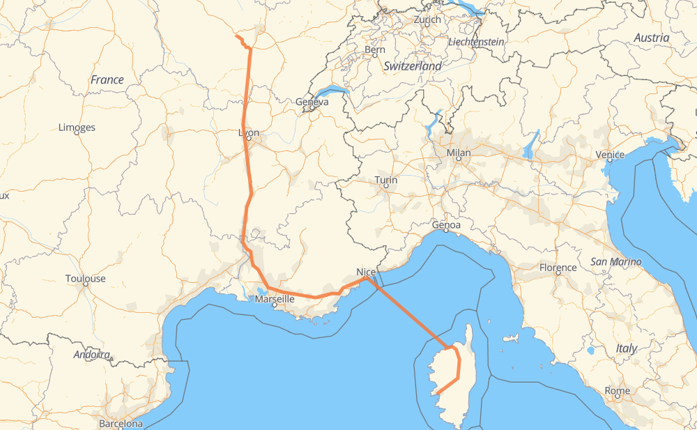
The distance from Ajaccio to Vandenesse-en-Auxois is 989 kilometers by road including 637 kilometers on motorways. Road takes approximately 17 hours and 4 minutes and goes through Niza, Aix-en-Provence, Aviñón and Lyon.
How much does it cost to drive from Ajaccio to Vandenesse-en-Auxois?
Fuel cost:
155.9 CAD
This fuel cost is calculated as: (Route length 989 km / 100 km) * (Fuel consumption 8 L/100 km) * (Fuel price 1.97 CAD / L)
You can adjust fuel consumption and fuel price here.
How long is a car ride from Ajaccio to Vandenesse-en-Auxois?
Driving time:
17 h 4 min
This time is calculated for driving at the maximum permitted speed, taking into account traffic rules restrictions.
604 km with a maximum speed 110 km/h = 5 h 29 min
91 km with a maximum speed 90 km/h = 1 h
77 km with a maximum speed 80 km/h = 57 min
22 km with a maximum speed 70 km/h = 19 min
13 km with a maximum speed 50 km/h = 15 min
1 km with a maximum speed 30 km/h = 2 min
180 km with a maximum speed 20 km/h = 8 h 58 min
The calculated driving time does not take into account intermediate stops and traffic jams.
How far is Ajaccio to Vandenesse-en-Auxois by land?
The distance between Ajaccio and Vandenesse-en-Auxois is 989 km by road including 637 km on motorways.
Precise satellite coordinates of highways were used for this calculation. The start and finish points are the centers of Ajaccio and Vandenesse-en-Auxois respectively.
How far is Ajaccio to Vandenesse-en-Auxois by plane?
The shortest distance (air line, as the crow flies) between Ajaccio and Vandenesse-en-Auxois is 673 km.
This distance is calculated using the Haversine formula as a great-circle distance between two points on the surface of a sphere. The start and finish points are the centers of Ajaccio and Vandenesse-en-Auxois respectively. Actual distance between airports may be different.
How many hours is Ajaccio from Vandenesse-en-Auxois by plane?
Boeing 737 airliner needs 50 min to cover the distance of 673 km at a cruising speed of 800 km/h.
Small plane "Cessna 172" needs 3 h 3 min to flight this distance at average speed of 220 km/h.
This time is approximate and do not take into account takeoff and landing times, airport location and other real world factors.
How long is a helicopter ride from Ajaccio to Vandenesse-en-Auxois?
Fast helicopter "Eurocopter AS350" or "Hughes OH-6 Cayuse" need 2 h 48 min to cover the distance of 673 km at a cruising speed of 240 km/h.
Popular "Robinson R44" needs 3 h 12 min to flight this distance at average speed of 210 km/h.
This time is approximate and do not take into account takeoff and landing times, aerodrome location and other real world factors.
What city is halfway between Ajaccio and Vandenesse-en-Auxois?
The halfway point between Ajaccio and Vandenesse-en-Auxois is Palette. It is located about 3 km from the exact midpoint by road.
The distance from Palette to Ajaccio is 492 km and driving will take about 12 h 22 min. The road between Palette and Vandenesse-en-Auxois has length 497 km and will take approximately 4 h 42 min.
The other cities located close to halfway point:
Aix-en-Provence is in 499 km from Ajaccio and 490 km from Vandenesse-en-Auxois
Pont de Bayeux is in 489 km from Ajaccio and 500 km from Vandenesse-en-Auxois
Le Canet is in 487 km from Ajaccio and 502 km from Vandenesse-en-Auxois
Where is Ajaccio in relation to Vandenesse-en-Auxois?
Ajaccio is located 673 km south-east of Vandenesse-en-Auxois.
Ajaccio has geographic coordinates: latitude 41.9264, longitude 8.7376.
Vandenesse-en-Auxois has geographic coordinates: latitude 47.22081, longitude 4.6159.
Which highway goes from Ajaccio to Vandenesse-en-Auxois?
The route from Ajaccio to Vandenesse-en-Auxois follows A 7, A 8, A 6.