Distance between Fort Smith NT and Rivière-Malbaie QC
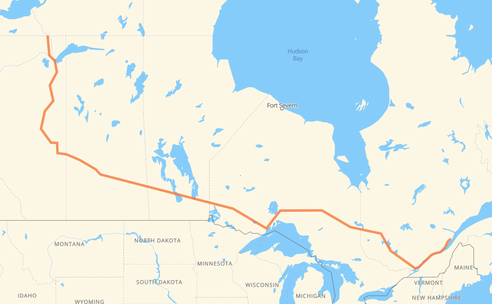
The distance from Fort Smith to Rivière-Malbaie is 4,727 kilometers by road including 409 kilometers on motorways. Road takes approximately 53 hours and 41 minutes and goes through Lloydminster, North Battleford, Saskatoon, Yorkton, Portage la Prairie, Winnipeg and Kenora.
How much does it cost to drive from Fort Smith to Rivière-Malbaie?
Fuel cost:
722.3 CAD
This fuel cost is calculated as: (Route length 4,727 km / 100 km) * (Fuel consumption 8 L/100 km) * (Fuel price 1.91 CAD / L)
You can adjust fuel consumption and fuel price here.
How long is a car ride from Fort Smith to Rivière-Malbaie?
Driving time:
53 h 41 min
This time is calculated for driving at the maximum permitted speed, taking into account traffic rules restrictions.
364 km with a maximum speed 100 km/h = 3 h 38 min
3,742 km with a maximum speed 90 km/h = 41 h 34 min
447 km with a maximum speed 80 km/h = 5 h 34 min
90 km with a maximum speed 70 km/h = 1 h 16 min
26 km with a maximum speed 60 km/h = 25 min
57 km with a maximum speed 50 km/h = 1 h 8 min
The calculated driving time does not take into account intermediate stops and traffic jams.
How far is Fort Smith to Rivière-Malbaie by land?
The distance between Fort Smith and Rivière-Malbaie is 4,727 km by road including 409 km on motorways.
Precise satellite coordinates of highways were used for this calculation. The start and finish points are the centers of Fort Smith and Rivière-Malbaie respectively.
How far is Fort Smith to Rivière-Malbaie by plane?
The shortest distance (air line, as the crow flies) between Fort Smith and Rivière-Malbaie is 2,997 km.
This distance is calculated using the Haversine formula as a great-circle distance between two points on the surface of a sphere. The start and finish points are the centers of Fort Smith and Rivière-Malbaie respectively. Actual distance between airports may be different.
How many hours is Fort Smith from Rivière-Malbaie by plane?
Boeing 737 airliner needs 3 h 44 min to cover the distance of 2,997 km at a cruising speed of 800 km/h.
Small plane "Cessna 172" needs 13 h 37 min to flight this distance at average speed of 220 km/h.
This time is approximate and do not take into account takeoff and landing times, airport location and other real world factors.
How long is a helicopter ride from Fort Smith to Rivière-Malbaie?
Fast helicopter "Eurocopter AS350" or "Hughes OH-6 Cayuse" need 12 h 29 min to cover the distance of 2,997 km at a cruising speed of 240 km/h.
Popular "Robinson R44" needs 14 h 16 min to flight this distance at average speed of 210 km/h.
This time is approximate and do not take into account takeoff and landing times, aerodrome location and other real world factors.
What city is halfway between Fort Smith and Rivière-Malbaie?
The halfway point between Fort Smith and Rivière-Malbaie is Vermilion Bay. It is located about 26 km from the exact midpoint by road.
The distance from Vermilion Bay to Fort Smith is 2,389 km and driving will take about 27 h 14 min. The road between Vermilion Bay and Rivière-Malbaie has length 2,338 km and will take approximately 26 h 27 min.
The other cities located close to halfway point:
Oxdrift is in 2,413 km from Fort Smith and 2,314 km from Rivière-Malbaie
Kenora is in 2,293 km from Fort Smith and 2,434 km from Rivière-Malbaie
Dryden is in 2,440 km from Fort Smith and 2,287 km from Rivière-Malbaie
Where is Fort Smith in relation to Rivière-Malbaie?
Fort Smith is located 2,997 km north-west of Rivière-Malbaie.
Fort Smith has geographic coordinates: latitude 60.00585, longitude -111.89026.
Rivière-Malbaie has geographic coordinates: latitude 47.6646, longitude -70.1562.
Which highway goes from Fort Smith to Rivière-Malbaie?
The route from Fort Smith to Rivière-Malbaie follows 11, 16, 17, 117, 63, PTH 16, 40, PTH 1, 138, 101.